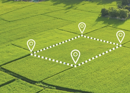
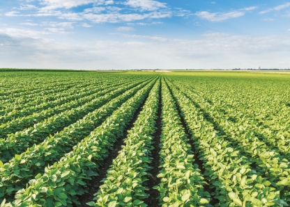
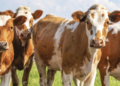
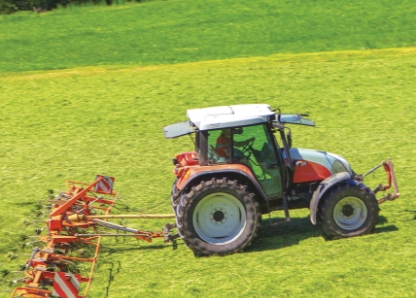
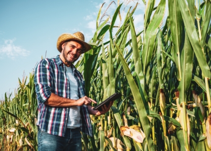
Agrarian Geographic Information System Skeagis provides information for operational management of agricultural production, enables processing and use of data on objects on the Earth's surface.
SKEAGIS offers five basic modules: Land Cadastre, Lease Contracts, Land, Digital Filing Room and Animals and additional modules, including GNSS Extension Module. The advantage of this system is the interconnection between the written and graphical parts and the exact localisation of production blocks in the field based on orthophotomap work.